Lepelenburg (Utrecht)
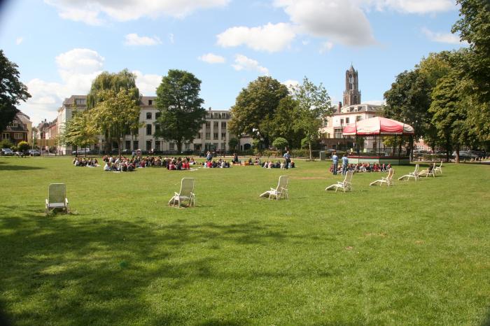
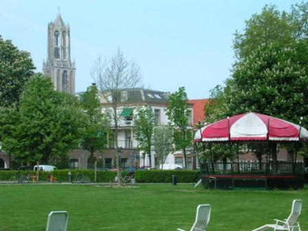

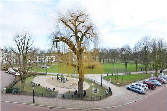
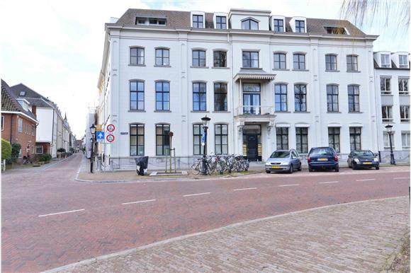
The Lepelenburg is a street in the center of the Dutch city Utrecht.
Lepelenburg, related objects
Wikipedia article: https://nl.wikipedia.org/wiki/Lepelenburg
Nearby cities:
Coordinates: 52°5'20"N 5°7'41"E
- Railway Museum 0.3 km
- Kerkenkruis 0.6 km
- Ina Boudier-Bakkerlaan 1 km
- Wilhelminapark (wijk) 1 km
- Schildersbuurt 1.2 km
- Watervogelbuurt 1.2 km
- Utrecht (municipality) 3.3 km
- Utrecht (province) 6.5 km
- De Bilt (municipality) 6.6 km
- Amsterdam-Rhine Canal 7 km
- Voorstraat 0.9 km
- A 12 (E 30 / E 35) 3.6 km
- E 35 4.2 km
- A 12 (E 30) 4.8 km
- A 2 4.8 km
- E 25 5.2 km
- A 2 (E 35) 16 km
- A 12 (E 25 / E 30) 19 km
- A12 (E35) 37 km
- A2 (E25) 80 km