Island-on-Map.com The Free Beach Guide HomeCountriesMenu

Kamaran island

Ultimate guide (April 2024)
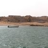
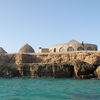
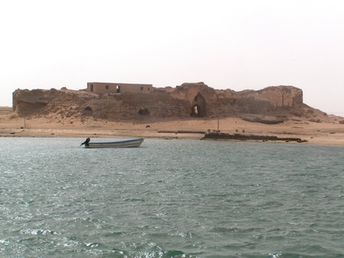
Kamaran - the largest Yemen island in the Red Sea. There are no good beaches. Number of attractions is also limited. Island is interesting only for divers and wild places travellers. [edit]
This island ranks #2 of the "Best islands in Yemen"
Rating: 4.3 - 654 votes [vote]
Coordinates: 15.349417, 42.587074

Hotels [edit]

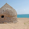
The island has the only hotel. Rooms are very basic.

How to get there [edit]

Fly to Sana'a International Airport (SAH). Next hire a taxi and boat.

When to go [edit]

Any time of year.

Rainfall, mm
Rainfall, mm

Water temperature, C

Temperature, C
Temperature, C

Humidity, %
Humidity, %

Wind speed, meter/sec

Open map

See also other islands nearby:

 
Saudi Arabia, Farasan islands, mangroves 5.2
180 km to the north-west
Location: Western Asia, Saudi Arabia
Rating: 5.2 (1178 votes)
Yemen, Socotra island, dune 7.8
1270 km to the east
Location: Western Asia, Yemen
Rating: 7.8 (5215 votes)
Saudi Arabia, Tarout island, fort 4.8
1470 km to the north-east
Location: Western Asia, Saudi Arabia
Rating: 4.8 (459 votes)
Egypt, Hurghada, Grand Giftun island, Paradise beach 7.3
1600 km to the north-west
Location: Africa, Egypt, Hurghada
Rating: 7.3 (528 votes)
Egypt, Tiran island, Jackson reef, Lara ship 4.8
1630 km to the north-west
Location: Africa, Egypt, Sharm el-Sheikh
Rating: 4.8 (575 votes)
💖
If you liked this page, please share it on: Facebook, Twitter, Instagram
…or any other web-site
 
This will help the project greatly!

 
To the top of this page »
 
© 2024, Island-on-Map.com · Menu