Kaldenkirchen station
Kaldenkirchen station is the railway station on the Viersen–Venlo railway in the municipality of Kaldenkirchen, itself a town part of Nettetal in the Viersen district in western Germany.Photo: Stefan Flöper, CC BY-SA 4.0.
- Type: Railway station
- Description: railway station in Nettetal, Germany
- Wheelchair access: yes
Notable Places in the Area
Evangelische Kirche Kaldenkirchen
Church

Photo: RomkeHoekstra, CC BY-SA 4.0.
Evangelische Kirche Kaldenkirchen is a church situated 1 km southwest of Kaldenkirchen station.
De Koel
Stadium

Photo: Tsutomu Takasu, CC BY 2.0.
De Koel, also known as Covebo Stadion – De Koel, is a multi-purpose stadium in Venlo, Limburg, Netherlands. De Koel is situated 3 km northwest of Kaldenkirchen station.
De Witt
Lake

Photo: Wikimedia, CC BY-SA 2.0.
De Witt is a lake situated 2½ km east of Kaldenkirchen station.
Localities in the Area
Kaldenkirchen
Village
Kaldenkirchen is a town in North Rhine-Westphalia in Germany, situated close to the Dutch border at Venlo.
Leuth
Village

Photo: Michielverbeek, CC BY-SA 3.0.
Leuth is a village in North Rhine-Westphalia on the Dutch border in the district of Viersen.
Nettetal
Town
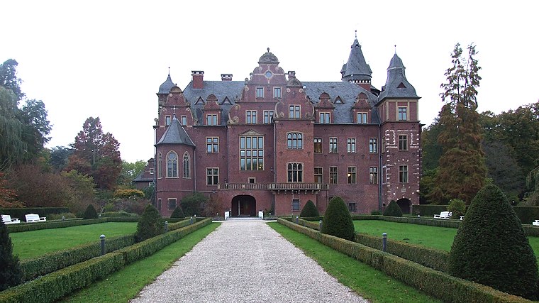
Photo: An-d, CC BY-SA 3.0.
Nettetal is a municipality in the district of Viersen, North Rhine-Westphalia, Germany. Nettetal is situated 5 km east of Kaldenkirchen station.
Kaldenkirchen station
- Categories: border train station, station and transportation
- Location: Nettetal, Viersen, Düsseldorf, North Rhine-Westphalia, Germany, Central Europe, Europe
- View on OpenStreetMap
Latitude
51.32728° or 51° 19' 38" northLongitude
6.20317° or 6° 12' 11" eastElevation
47 metres (154 feet)Operator
DB Netz AGUIC ID
8000190Open Location Code
9F3886G3+W7OpenStreetMap ID
node 3428788689OpenStreetMap Feature
public_transport=stationOpenStreetMap Feature
railway=stationOpenStreetMap Attribute
wheelchair=yesGeoNames ID
11972826Wikidata ID
Q6351811Kaldenkirchen station Satellite Map
© OpenStreetMap, Mapbox and Maxar
Also Known As
- Dutch: Station Kaldenkirchen
- Dutch: station Kaldenkirchen
- Egyptian Arabic: محطة كالدينكيرتشين
- English: Kaldenkirchen
- French: gare de Kaldenkirchen
- German: Bahnhof Kaldenkirchen
- Western Frisian: Stasjon Kaldenkirchen
Localities in the Area
- Bauten ErbLocality
- Am BuscherpfadLocality
- Am Wilden WegLocality
- Am TalwegLocality
- Angen EndLocality
Places in the Area
- KaldenkirchenRailway stop
- Bahnhofscafé GmbH & Co. KGCoffeehouse
- Kaldenkirchen BahnhofBus stop
Popular Destinations in North Rhine-Westphalia
Discover Cologne, Düsseldorf, Bonn and Dortmund.
Escape to a Random Place
Discover other destinations in the world.
About Mapcarta. Thanks to Mapbox for providing amazing maps. Data © OpenStreetMap contributors and available under the Open Database License. Text is available under the CC BY-SA 4.0 license, excluding photos, directions and the map. Description text is based on the Wikipdia page Kaldenkirchen station. Photo: Stefan Flöper, CC BY-SA 4.0.