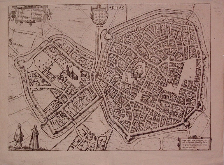
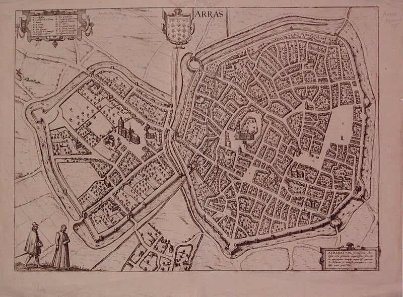
Arras
Cologne: Braun & Hogenberg, 1572.
View. Uncolored engraving. Image measures 12.75" x 18.5".
Town plan of Arras in N. France, including the coat of arms. Text on verso describes the town. From the city atlas "Civitates Orbis Terrarum", a collection of city views and plans created as a companion to Ortelius' "Theatrum Orbis Terrarum". The editions were published between 1572-1617. This edition has Latin text on back and is from Volume I. A few small tears to left and right edges. Expert repairs to centerfold. Minor creasing at top edge. Georg Braun (1541-1622) was a Catholic cleric who edited the "Civitates orbis terrarum," a collection of 546 prospects, bird's-eye views and maps of international cities. Hogenberg created the tables for the first 4 volumes. Together, these two geographers created a work that set new standard for cartography for the next century. This plan of Arras demonstrates the high quality of their work.
Binding: Unbound
Condition: Very Good
Language: English
Price: $285.00
Item #205466