Uphill
305m
Length
13km
Duration
4h
Elev gain
305m
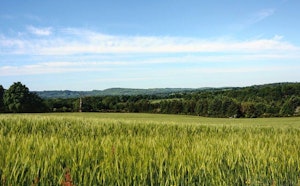
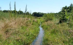
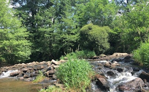
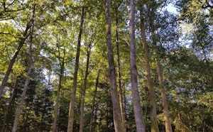
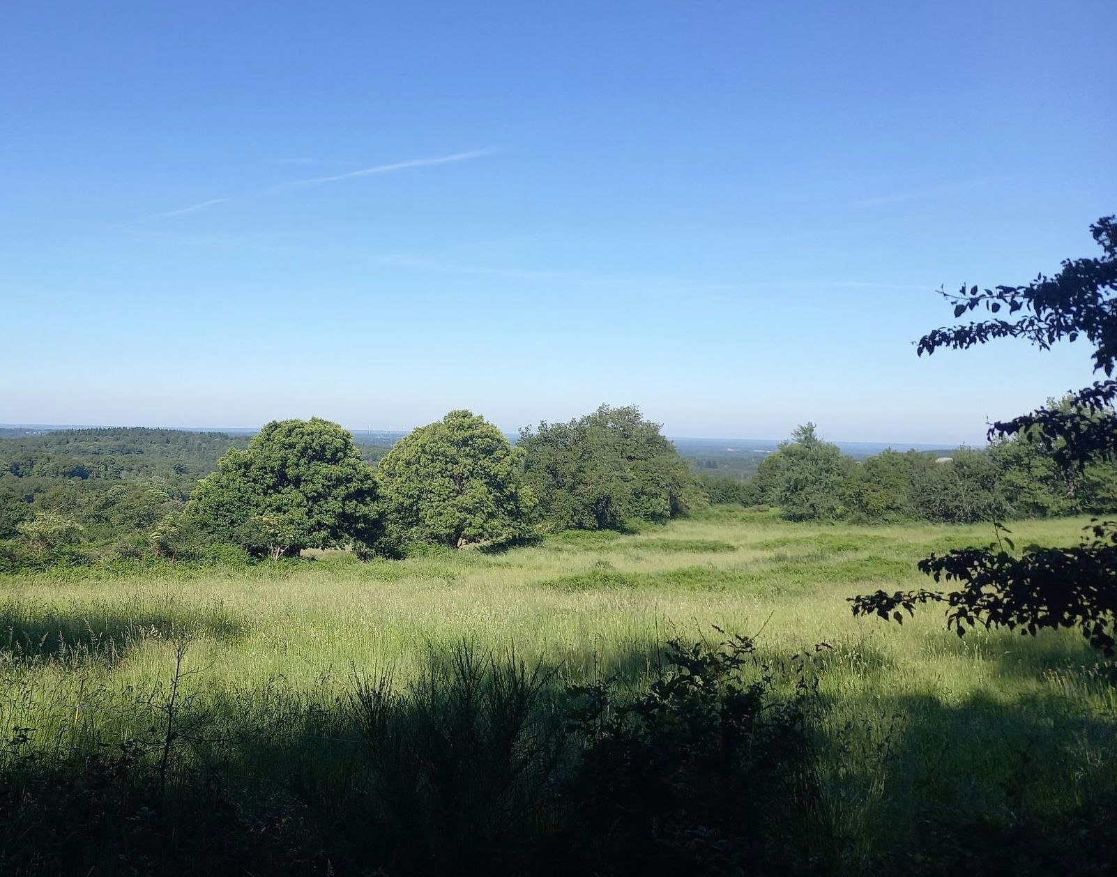
Leaving from Montrol-Sénard, this hike makes a nice loop through the surrounding villages. In the heart of the Monts de Blond massif, the trail runs through magnificent landscapes, all in a calm and natural setting.

Already more than 200,000 users!
Uphill
305m
Highest point
467m
Downhill
305m
Lowest point
335m
Route type
Loop
Download the map on your smartphone to save battery and rest assured to always keep access to the route, even without signal.
Includes IGN France and Swisstopo.
I indicate whether dogs are allowed or prohibited on this trail
All year
0 ratings
Also enjoy:

Already more than 200,000 users!